Better Management of Water Environments Using AI Images
Greg Howard
8th August, 2025


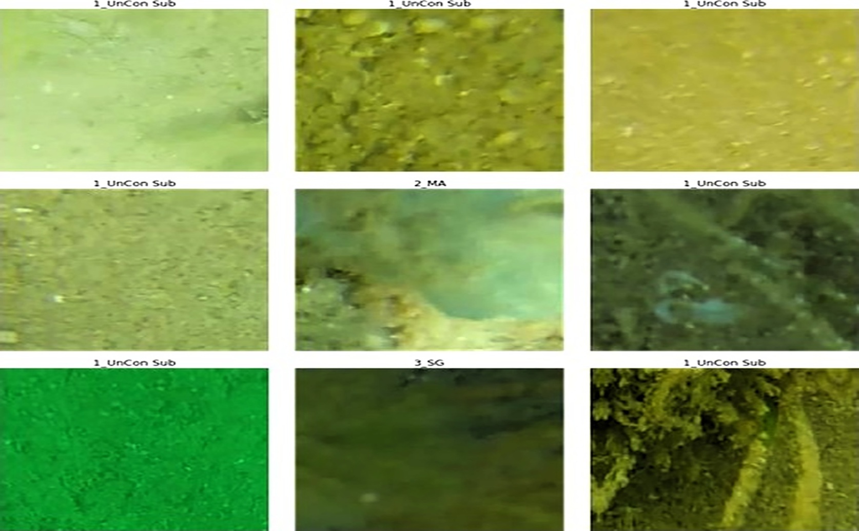
The extraction of small, point-centered image patches resulted in a loss of spatial context and label ambiguity when multiple habitat types were present, illustrating the limitations that necessitated the use of larger analytical windows to achieve the high accuracy reported for the study's image-level object detection model.
Key Findings
- Researchers developed AI models for Western Australia's Exmouth Gulf Prawn Fishery to quickly analyze underwater habitat images, overcoming the challenge of processing vast, sensitive data in-house
- These AI models achieved over 90% accuracy in identifying crucial marine habitats like seagrass and sand, proving effective for large-scale, secure data analysis
- This technology provides fisheries agencies with a robust, cost-effective tool for rapid habitat assessment, enabling better-informed decisions for sustainable marine management
SustainabilityEcologyMarine Biology
References
Main Study
1) Advancing fishery dependent and independent habitat assessments using automated image analysis: A fisheries management agency case study
Published 6th August, 2025
https://doi.org/10.1371/journal.pone.0329409
Related Studies
2) Deep learning.
3) MAIA-A machine learning assisted image annotation method for environmental monitoring and exploration.
4) Leveraging deep learning and computer vision technologies to enhance management of coastal fisheries in the Pacific region.
Related Articles
 10th March, 2024 | Jenn Hoskins