Comparing Sandy Beach and Dune Changes Using Lidar and Drone Technology

Jenn Hoskins
5th June, 2024
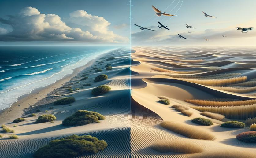
Comparing Sandy Beach and Dune Changes Using Lidar and Drone Technology

Image Source: Natural Science News, 2024

Key Findings

  • The study took place in sandy beach and foredune environments, comparing Apple lidar with traditional methods for mapping geomorphic changes
  • Apple lidar was slightly less precise than high-precision methods but still provided reliable data for detecting geomorphic changes
  • Apple lidar captured finer-scale patterns of erosion and accretion, making it a valuable tool for proactive coastal management
Coastal landscapes, including sandy beaches and foredunes, are dynamic and susceptible to changes caused by water level fluctuations, storm events, and human activities. Monitoring these changes is crucial for effective coastal management and resilience planning. Traditional methods for measuring geomorphic changes, such as small-unoccupied aircraft systems paired with structure-from-motion photogrammetry (sUAS-SfM), are often costly and logistically challenging. A recent study by researchers at Michigan State University[1] evaluated the accuracy of Apple’s built-in lidar technology as a more accessible alternative. The study compared the performance of Apple lidar with high-precision sUAS-SfM and Real-Time Kinematic GPS (RTK-GPS) in mapping geomorphic changes in sandy beach and foredune environments. Checkpoint elevations measured via RTK-GPS were used as a benchmark to assess the accuracy of both sUAS-SfM and Apple lidar. The results showed that sUAS-SfM elevation data were on average around 0.004 meters above or below the checkpoint elevations, while Apple lidar elevations were around 0.039 meters. Although Apple lidar was slightly less precise, it still provided reliable data for detecting geomorphic changes. The study also compared volumetric measurements and spatial patterns of erosion and accretion between the two methods. Both techniques documented similar geomorphic changes, but Apple lidar captured finer-scale patterns of erosion and accretion. This ability to detect detailed changes rapidly and accurately suggests that Apple lidar can be a valuable tool for proactive coastal management. This research builds on previous findings that highlight the potential of low-cost, accessible technologies in coastal monitoring. For example, a study demonstrated that citizen science combined with low-cost unmanned aerial vehicles could produce reliable survey-grade morphological data for studying sediment dynamics[2]. This approach showed that non-professionals could collect unbiased data as accurate as that gathered by professionals, making coastal monitoring more inclusive and widespread. Furthermore, the increasing availability of spatial data and advancements in data processing have diversified the use of such data for coastal community resilience applications[3]. However, the true value of spatial data has not been fully exploited due to a lack of scientific managerial models that incorporate it into decision-making. The current study by Michigan State University addresses this gap by demonstrating how Apple lidar can be integrated into coastal resilience operations, offering a cost-effective and efficient alternative to traditional methods. The findings also align with research on the technical capabilities of novel lidar sensors. A study investigating the Apple iPad Pro 2020 and iPhone 12 Pro with built-in lidar sensors found that these devices could create accurate high-resolution models of small objects and coastal cliffs[4]. The versatility and cost-effectiveness of Apple lidar make it a promising tool for various geo-scientific applications, including coastal monitoring. In conclusion, the study by Michigan State University validates the use of Apple lidar as a reliable method for mapping geomorphic changes in sandy beach and foredune environments. By providing a more accessible and cost-effective alternative to traditional methods, Apple lidar can enhance coastal management and resilience efforts, contributing to better-informed decision-making and proactive strategies for coastal protection.

EnvironmentSustainabilityEcology

References

Main Study

1) Comparative analysis of sandy beach and foredune geomorphic change measurements from Apple lidar and small-unoccupied aerial systems.

Published 4th June, 2024

https://doi.org/10.1038/s41598-024-63466-1


Related Studies

2) Citizen science for monitoring seasonal-scale beach erosion and behaviour with aerial drones.

https://doi.org/10.1038/s41598-021-83477-6


3) Deploying Spatial Data for Coastal Community Resilience: A Review from the Managerial Perspective.

https://doi.org/10.3390/ijerph18020830


4) Evaluation of the Apple iPhone 12 Pro LiDAR for an Application in Geosciences.

https://doi.org/10.1038/s41598-021-01763-9


Related Articles

An unhandled error has occurred. Reload 🗙