Mapping Mangroves from Space to Support Climate Resilience

Jim Crocker
24th March, 2024
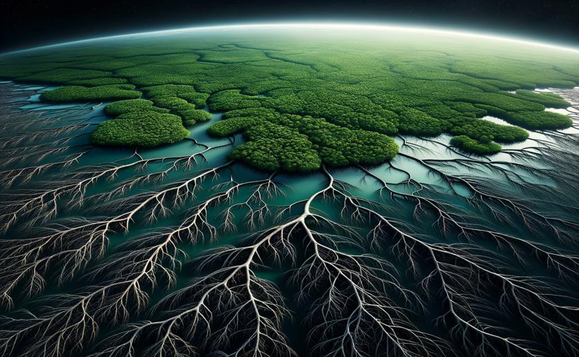
Mapping Mangroves from Space to Support Climate Resilience

Image Source: Natural Science News, 2024

Key Findings

  • In Mauritius, a study used satellite images to track mangrove forests over time
  • Advanced techniques showed a significant growth in mangroves at Le Morne since 2013
  • This data helps inform strategies to protect coastlines and adapt to climate change
Mangrove forests are not just scenic coastal features; they are vital protectors of our shorelines, acting as natural barriers against the destructive forces of tsunamis and storm surges. With over three billion people living in high-risk zones for these natural disasters, the significance of mangroves cannot be overstated[2]. Despite their importance, these ecosystems are under threat, having been reduced by almost half over the last two decades due to human activities and natural events[2]. Addressing this alarming trend, a new study from the University of Technology Mauritius has shed light on how modern technology can be harnessed to monitor and potentially restore these precious forests[1]. The study focuses on the island nation of Mauritius, where mangroves play a crucial role in safeguarding the local environment and communities. Researchers employed remote sensing techniques and Geographic Information Systems (GIS) to assess changes in mangrove cover over time at two specific sites: Le Morne and Ferney. Using high-resolution satellite images from SPOT-5 and Sentinel 2A, they were able to map the mangrove forests with a high degree of accuracy. The satellite images, dating from 2013 and 2023, were processed with advanced software tools, including ArcGIS Pro and SNAP. To ensure the accuracy of their satellite-derived maps, the team also carried out ground truthing. This process involves visiting the actual sites to verify that the satellite images correctly represent the ground conditions. Combining this with historical imagery from Google Earth Pro, the researchers applied vegetation indices, which are formulas that help to identify plants and their conditions from satellite images. In addition to vegetation indices, the study used two more complex analytical methods: Gray Level Co-occurrence Matrix (GLCM) and Principal Component Analysis (PCA). GLCM is a statistical method that examines the texture of the satellite images, which can be indicative of different vegetation types. PCA, on the other hand, is a technique that helps to reduce the complexity of the data, highlighting the most important information. These analyses contributed to the accurate classification of the images using a machine learning algorithm known as Random Trees. The results were promising, with Kappa values—a statistic that reflects the accuracy of image classifications—in the high 90s. This indicates a very high level of agreement between the satellite data and the actual conditions on the ground. Notably, the area of Le Morne showed a significant increase in mangrove cover over the ten-year period, with much of the mudflat area transitioning to mangrove forest. This increase in mangrove cover at Le Morne is an encouraging sign, as it suggests that restoration or natural regeneration is occurring. Such positive change is critical in the effort to mitigate the impacts of tsunamis and storm surges, which have historically caused immense loss of life and livelihoods[2]. The ability to monitor mangroves through remote sensing provides a powerful tool for policymakers and conservationists. It offers up-to-date information that can be used to design targeted interventions, ensuring that restoration efforts are directed where they are most needed. The study by the University of Technology Mauritius demonstrates the potential of geo-spatial tools in environmental monitoring and management. By providing detailed and timely data on mangrove cover, these tools can help to inform strategies that not only protect coastal ecosystems but also enhance the resilience of communities facing the increasing threats of climate change. This is especially pertinent for island nations like Mauritius, where the health of mangrove forests is directly tied to the well-being of its people and the stability of its ecosystems. In conclusion, the research illustrates a successful application of modern technology in environmental conservation. It serves as a model for other coastal regions, showing how accurate, real-time data can empower effective decision-making to safeguard our planet's natural defenses against the growing challenges posed by a changing climate.

EnvironmentEcology

References

Main Study

1) Mangrove mapping and monitoring using remote sensing techniques towards climate change resilience.

Published 23rd March, 2024

https://doi.org/10.1038/s41598-024-57563-4


Related Studies

2) The importance of mangrove forest in tsunami disaster mitigation.

https://doi.org/10.1111/j.1467-7717.2008.01070.x


Related Articles

An unhandled error has occurred. Reload 🗙